Tracks and Trails Strategic Action Plan
Share Tracks and Trails Strategic Action Plan on Facebook
Share Tracks and Trails Strategic Action Plan on X (formerly Twitter)
Share Tracks and Trails Strategic Action Plan on Linkedin
Email Tracks and Trails Strategic Action Plan link
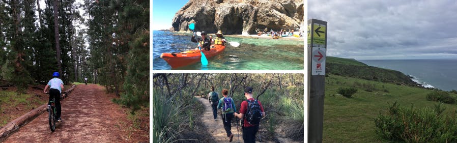
Tell us about the trails you currently use and the ones you'd like to see developed. The Tracks and Trails Strategic Action Plan will provide a vision for recreation trails in the Yankalilla Council area, including prioritising upgrades to existing trails and proposing new trails and areas for further investigation.
The Action Plan will be informed by community input together with the current trend and participation data. It will identify priority actions to make improvements to existing trails and expand the network of land and marine-based recreational trails.
We invite residents, community groups, organisations and visitors to the Fleurieu CoastContinue reading

Page last updated: 06 May 2020, 05:08 PM